This page serves as a gateway to original projects by senior majors in Davidson College’s Environmental Studies department. This interdisciplinary program is designed to provide majors with a broad perspective across Environmental Natural Science, Environmental Social Science, and Environmental Humanities, while also requiring them to study in depth in one of these areas. As part of the major, seniors must participate in a research oriented capstone course. The group projects below comprise part of the breadth component of the students’ research efforts. These projects were enabled via the generous support of the Duke Energy Foundation.
 | Lake Norman Shoreline – an examination of the Lake Norman shoreline, and how it is protected. Lake Norman is the largest body of water in the Catawba-Wataree Watershed, and the largest lake in North Carolina. With a shoreline of 520 miles and an area of more than 50 square miles, Lake Norman is actually an inland sea. The shoreline of Lake Norman is a vital area to focus on protecting, because it represents a boundary between the lake ecosystem and the anthropogenic pollutants that surround it. |
 | Griffith Street Development – Davidson was a small rural town before Lake Norman covered much of the farmland and made the town a lakeside destination. This projects examines Davidson’s change in identity by following the development of Griffith Street, the entrance to Interstate-77. |
 | Fishing on Lake Norman – Fishing has changed significantly in Lake Norman in the fifty years since the dam was built, due to a number of factors. Increased development around the lake, stricter environmental regulations, stocking and species introduction by the North Carolina Wildlife Resources Commission and local fishermen, and the resulting interactions have all played a role in crafting these changes |
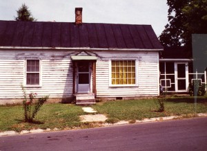
 | Davidson College Lake Campus History – The history of the Lake Campus, including acquisition initial renovations and use changes over time are examine using a timeline format. |
 | Flood of 1916 – On July 14, 1916, two tropical storms converged to hit the North Carolina/South Carolina coast simultaneously. This strong storm hit Charlotte in the late afternoon on the 14th and lasted for 28 hours. Rainfall totaled 5.15 inches, and set a record for highest recorded rainfall in a 24 hour period. The heaviest rains occured in the headwaters of the Catawba. The Catawba raged for the two days and the high waters caused intense damages to the area. |
 | Under the Demographic Change – The creation of Lake Norman has had significant impact on the demographics of the four counties surrounding the lake. Demographic changes are examined in the context of an interactive timeline. |
 | Environmental Concerns and Social Action – Non-profit organizations play a pivotal role in addressing environmental problems around Lake Norman; they fill the gaps of government and private sector efforts. Through fostering relationships among community members, academic experts, and government officials, non-profits provide important services and programs. Environmental issues involving the lake and the histories of the various groups addressing them are examined. |
 | Luxury Residential Development – The history of residential development around the “lake” is explored. The causation behind the trend for luxury development is examined in the context of individual developments and across time. |
 | Cowan’s Ford Battle and Conservation – This page provides information on the life and legacy of General William Lee Davidson and cover the Revolutionary War battle that took his life, the memorials that serve to commemorate his life and that battle today across the state, as well as an overview of the mission of the Reedy Creek Conservation Center after the dam and lake were created. |
 | Lincoln County and Lake Norman – Here, we assess “public access of Lake Norman” focusing on the western shore of the lake, specifically Lincoln County. |
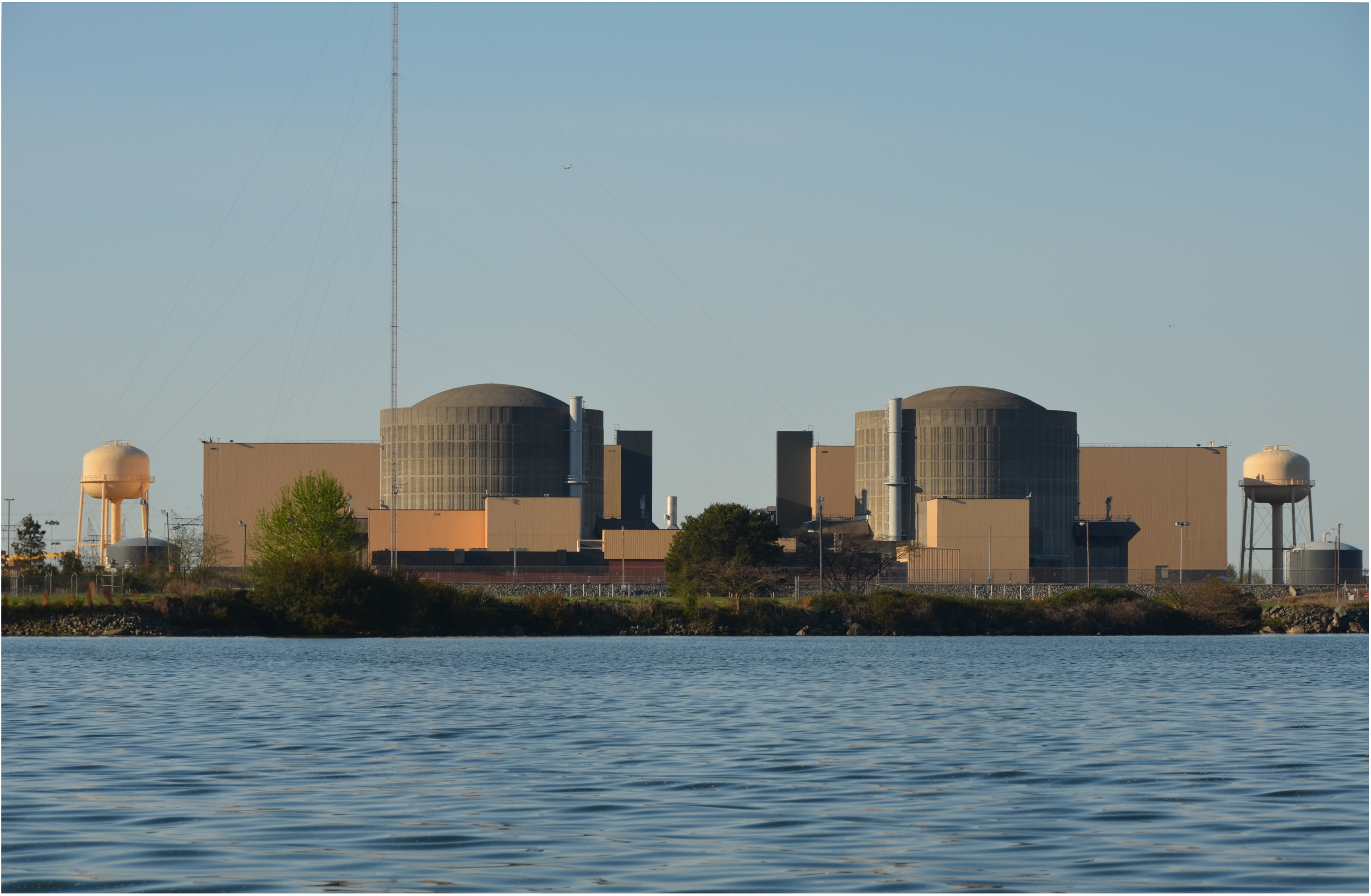 | McGuire Nuclear Plant – This page examines the intersections of science, policy, and people in relation to the McGuire Nuclear Power Plant |
 | Public Access and Lake Norman State Park – This page focuses on the development of the State Park and the impact that it has on the surrounding community. Additionally, we have used our study of LNSP to demonstrate the simultaneous presence and absence of public access to Lake Norman. |
 | Population and Water Quality – This project examines population changes around Lake Norman and the resulting changes in water quality. |